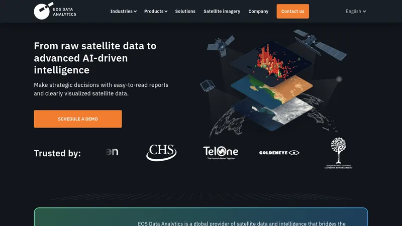
Agricultural AnalyticsSatellite Imagery AnalysisForestry Management
2
236

EOS Data Analytics (EOSDA)

Transform satellite imagery into actionable agricultural insights

Custom
API Available
Visit Website
EOS Data Analytics (EOSDA)

Target Audience

  • Agricultural Consultants
  • Insurance Companies
  • Forestry Managers
  • Food Production Corporations

Hashtags

#SatelliteAnalytics#SustainableFarming#AgTechSolutions#PrecisionAgriculture

Overview

EOSDA provides satellite-based analytics to monitor crop health, track forestry changes, and optimize agricultural operations. Their platform combines AI with geospatial data to help farmers and businesses make informed decisions that boost productivity while promoting sustainability. Users can access weather forecasts, field activity planning, and high-resolution imagery in one place.

Key Features

1

Satellite Monitoring

Track crop health using daily updated satellite imagery

2

Team Management

Coordinate field teams and share data across departments

3

Scouting App

Pinpoint field issues with GPS-guided scouting missions

4

Weather Analytics

Access hyperlocal weather forecasts and historical data

5

VRA Maps

Create precision farming maps for optimized input application

Use Cases

🌾

Monitor crop health remotely

🌳

Track forestry changes over time

💧

Detect soil water stress areas

📈

Estimate agricultural yields

🛰️

Analyze high-res satellite imagery

Pros & Cons

Pros

  • PhD-led team with 30+ years expertise
  • Combines multiple satellite data sources
  • Sustainability-focused analytics solutions
  • Customizable for specific business needs

Cons

  • Steep learning curve for non-technical users
  • Pricing requires direct consultation
  • Focuses primarily on agriculture/forestry sectors

Frequently Asked Questions

What industries does EOSDA serve?

Primarily agriculture and forestry, with solutions for insurance companies, NGOs, and food producers

Can I access historical satellite data?

Yes, the platform combines current and historical parameters for analysis

How current is the satellite imagery?

Daily high-resolution updates available for crop monitoring

Reviews for EOS Data Analytics (EOSDA)

Alternatives of EOS Data Analytics (EOSDA)

Cybertiks

Analyze global fields remotely with AI-powered satellite insights

Satellite AnalyticsAI Solutions
Enterprise/Custom (Not Specified)
SeeTree

Optimize agricultural operations with AI-driven tree analytics

Agricultural AnalyticsFarm Management
Custom
Picterra

Analyze geospatial data for sustainability compliance and monitoring

Geospatial AnalysisEnvironmental Monitoring
Custom
AiDASH

Protect critical infrastructure assets using satellite-powered AI insights

Infrastructure ManagementClimate Risk Analytics
3
2
216 views
Tiered
FlyPix

Detect and analyze objects in geospatial imagery using AI

Geospatial AnalysisAI Detection
1
1
252 views
Spatialedge

Empower businesses to make data-driven decisions

Data AnalysisBusiness Intelligence
Subscription
Connecterra

Transform dairy farm management with AI-driven insights

Agricultural AnalyticsFarm Management Software
Use Cases For AI

Discover practical AI applications across 20+ industries

AI Tool DirectoryIndustry Solutions