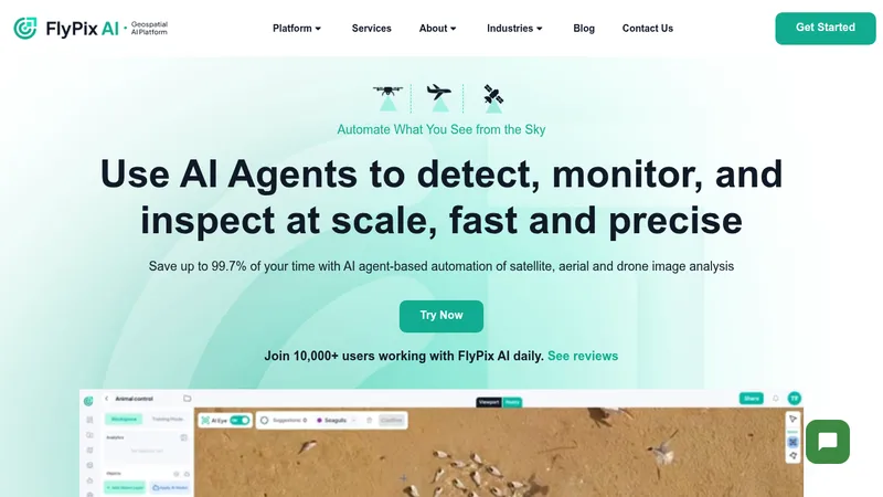
AI DetectionRemote SensingGeospatial Analysis
249

FlyPix

Detect and analyze objects in geospatial imagery using AI

Tiered
Free Version
API Available
Visit Website
FlyPix

Target Audience

  • Urban planning departments
  • Agricultural operations managers
  • Infrastructure maintenance teams
  • Environmental monitoring agencies

Hashtags

#SmartInfrastructure#SatelliteAnalytics#AIMapping#GeospatialAI

Social Media

Overview

FlyPix uses AI to automatically identify objects in satellite/aerial imagery, saving 99.7% of the time required for manual analysis. It helps industries like construction and agriculture monitor sites, track changes, and make data-driven decisions without coding skills. Users can train custom AI models to recognize specific objects relevant to their field.

Key Features

1

Custom AI Training

Create object detection models without programming knowledge

2

Multispectral Analysis

Analyze data beyond visible light for specialized insights

3

Interactive Sandbox

Test detection capabilities with live demo environment

4

API Access

Integrate geospatial analysis into existing systems

5

Team Collaboration

Share maps and manage access controls for teams

Use Cases

🏗️

Monitor construction site progress

🌾

Track crop health in agriculture

Inspect energy infrastructure

🌳

Monitor deforestation patterns

🚢

Manage port logistics efficiently

Pros & Cons

Pros

  • 99.7% faster than manual annotation
  • Customizable AI models for industry-specific needs
  • Supports multispectral data analysis
  • API access for enterprise integration

Cons

  • Requires geospatial data literacy
  • Pricing scales significantly for large teams
  • Limited support in lower-tier plans

Pricing Plans

Basic

monthly
Free

Features

  • 3GB storage
  • 10 credits
  • Basic AI model access

Starter

monthly
€50

Features

  • 10GB storage
  • 50 credits
  • Vector layer exports

Standard

monthly
€500

Features

  • 120GB storage
  • 600 credits
  • Map sharing capabilities

Professional

monthly
€2000

Features

  • 600GB storage
  • 3000 credits
  • API access
  • White labeling

Pricing may have changed

For the most up-to-date pricing information, please visit the official website.

Visit website

Frequently Asked Questions

Can I try FlyPix without commitment?

Yes, we offer a free Basic plan and free trial options

Do I need coding skills to use FlyPix?

No coding required - train AI models through visual interface

What industries does FlyPix support?

Construction, agriculture, energy, government, and 10+ other sectors

Reviews for FlyPix

Alternatives of FlyPix

Custom
Picterra

Analyze geospatial data for sustainability compliance and monitoring

Geospatial AnalysisEnvironmental Monitoring
Custom
GeoSpy

Pinpoint exact GPS locations from photos without metadata

Geolocation AIImage Intelligence Platform
3
67 views
Custom
EOS Data Analytics (EOSDA)

Transform satellite imagery into actionable agricultural insights

Agricultural AnalyticsSatellite Imagery Analysis
2
234 views
Cybertiks

Analyze global fields remotely with AI-powered satellite insights

Satellite AnalyticsAI Solutions