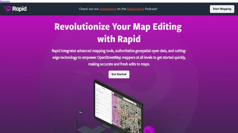
Rapid is an OpenStreetMap editor developed by Meta that integrates advanced mapping tools, authoritative geospatial open data, and AI-powered features to help mappers at all levels create accurate and up-to-date map edits quickly. The editor saves users from manually drawing map geometry by leveraging open data and AI-predicted features. AI-analyzed satellite imagery provides a high-level overview of unmapped and missing data globally. Rapid's interface is designed to be intuitive and clear, and humanitarian and community groups use it to facilitate mapping projects.
Key Features
- AI-analyzed satellite imagery for identifying unmapped areas
- Machine learning detections displayed alongside open map data
- Intuitive user interface for simple and clear mapping
- Integration with open geospatial data
Use Cases
- OpenStreetMap editing for all skill levels
- Humanitarian mapping projects
- Community-driven map improvement
Who It’s For
OpenStreetMap mappers, humanitarian organizations, and community groups involved in mapping projects.
Key Benefits
- AI-powered feature detection reduces manual drawing effort
- AI-analyzed satellite imagery helps identify missing data
- Intuitive user interface simplifies mapping
- Supports humanitarian and community mapping projects