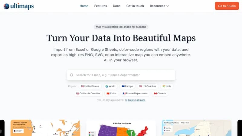
Ultimaps is a browser-based map visualization tool that lets users create beautiful, interactive maps without any design or GIS skills. It supports importing data from Excel, CSV, Google Sheets, or Notion, and automatically matches regions to color-code by value. Users can choose from over 100 vector maps covering countries, states, counties, and administrative regions. Maps can be customized with colors, pins, annotations, and legends, then exported as PNG, SVG, or PDF, or published as interactive embeddable maps with tooltips and popups. The tool is free to use with no sign-up required for basic usage, and offers paid Pro and Custom plans for high-resolution exports, vector formats, white-label branding, and additional features. Ultimaps is used for sales territory mapping, real estate portfolio visualizations, election and political maps, demographic research, business presence maps, and location maps.